By Helen Neville and Dan Dauwalter
When TU staff consider who might be valuable partners in our conservation work, we typically think of state fish and wildlife agencies, the U.S. Fish and Wildlife Service, the Bureau of Land Management, or the U.S. Forest Service, to name a few. We certainly don’t usually think of NASA. Why would the National Aeronautics and Space Administration work with us, to save trout?
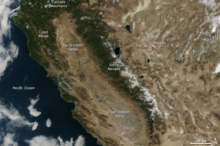
Well, it turns out that some of the remote sensing tools being produced by NASA can be used to quantify trout habitat. Things like snowpack, the amount of vegetation flanking streams, or fire occurrence can all be quantified from space, at resolutions that are applicable to understanding habitat quality – and trout population dynamics. In collaboration with Dr. Seth Wenger (who came up with the idea, he was formerly at TU and is now faculty at the University of Georgia), as well as a host of researchers from the University of Montana, U.S. Geological Survey, USFS, the University of Nevada, and USFWS, TU scientists scored a year of funding in late 2013 to develop a whole new approach to population modeling that incorporates NASA tools.
We chose Lahontan cutthroat trout as our pilot species, and have put the pedal to the metal this last year to produce several valuable products: a new, updatable database organizing detailed fish information from different groups working on Lahontans; a map of stream temperature at a 1 kilomoeter resolution across the entire Lahontan Basin; and a model that estimates the likelihood that different Lahontan populations across the range might go extinct, even where we have little or no data on their actual abundances. And given the links to environmental variables like stream temperature and flow, we can also make these predictions under climate change scenarios.
It turns out NASA really liked what we did, and just renewed our funding for another three years. So now we are again stepping on the gas to refine and complete our Lahontan cutthroat trout models and work with management agencies to apply them, as well as to expand the model to new species across the West. If all goes as planned, our goal is to provide a new, quantitative tool for estimating extinction risk that is accurate and updatable, and moves us toward better, more strategic conservation of native trout. Amazingly enough it turns out that viewing fish from space may be a key to keeping them alive and well in our local streams.
Helen Neville and Dan Dauwalter work for TU’s Science Team based in Boise, Idaho.


