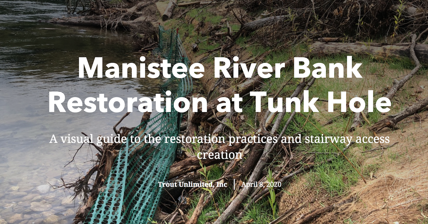
Trout Unlimited has produced an informative ArcGIS StoryMap highlighting an important 2019 restoration project on Michigan’s Manistee River.
TU, the Forest Service, Huron-Manistee National Forest and other partners completed Phase I of a multi-year project aimed to restore the severely eroded banks of the Manistee River below Tippy Dam in Wellston.
The project site, known locally as the Tunk Hole, is located on National Forest Lands within the Huron -Manistee National Forest.

The naturally occurring erosion at this outside river bend had been severely exacerbated by high levels of foot traffic. This location receives some of the highest angling pressure in the state because of the abundant angling opportunities for migratory salmon, steelhead and other sport fish.
Click here to view the StoryMap, which was built by TU staffer Matthias Bonzo, a project coordinator in the Great Lakes region. Reach Bonzo at matthias.bonzo@tu.org.


