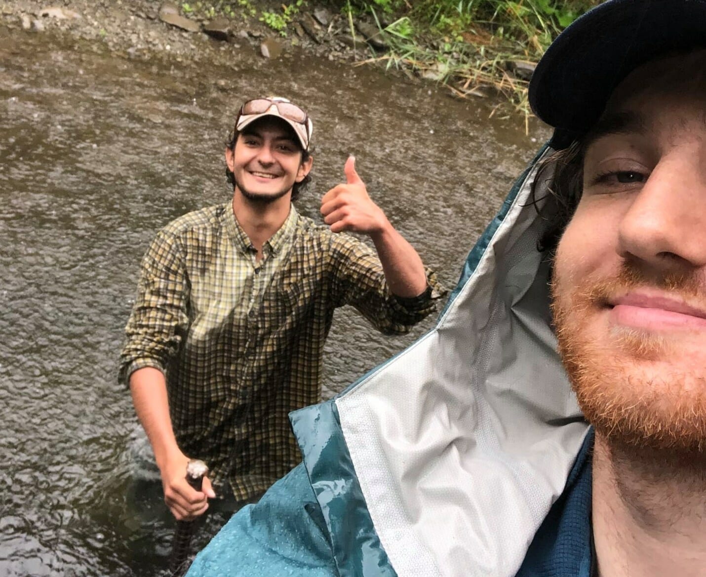
Joe Liesman and Chris Pullano recently joined the Trout Unlimited staff for six-month stints as technicians in the Upper Delaware River basin. We recently caught up with the two avid conservationists and anglers to see how things have been going.
Q: Talk a little about your backgrounds. Where did you grow up and what got you interested in fisheries, conservation, etc.?
Joe: I’m from Pelham, New York. I have been fishing my whole life and have traveled throughout the US and abroad in search of new and exciting waters. I’ve always been passionate about water conservation and environmental protection, majoring in Environmental Studies at Carleton College in Northfield, Minn.
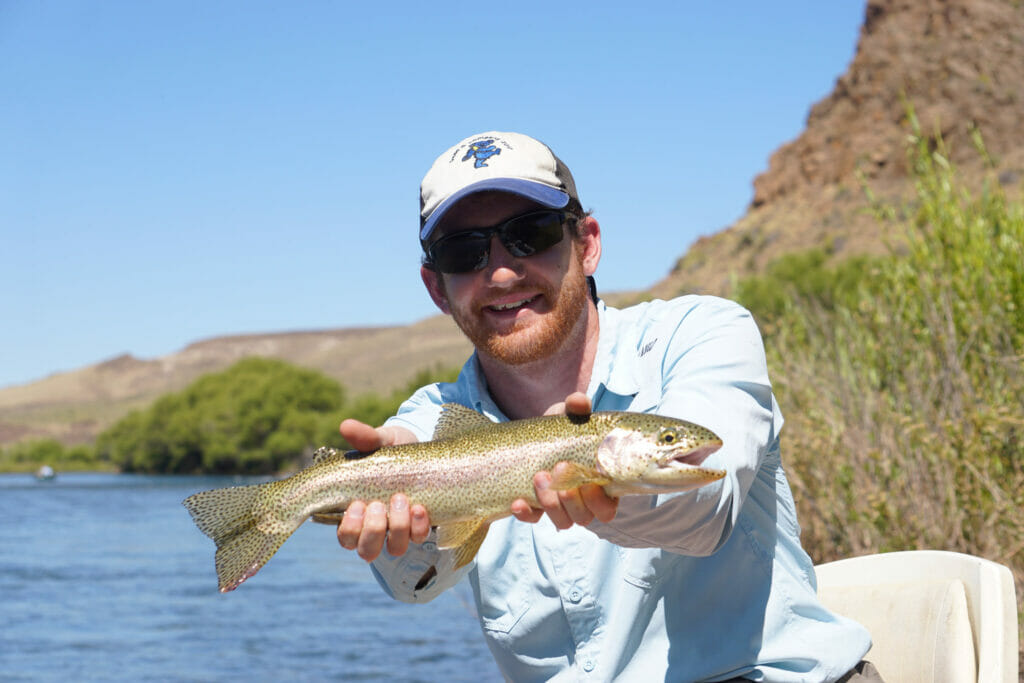
At school, I focused on environmental history, climate change, and wilderness studies. Prior to graduating this June, I split my summers between interning at a Hudson River protection group and working at a lodge in the Adirondack Mountains. Besides fishing, I enjoy playing music, hiking, and planning the next trip.
Chris: I grew up near New Haven, Conn., enjoying time spent outdoors, hunting, and fishing the state’s many wild trout waters. I received my BS in Fisheries from the University of Maine in 2018 and have since held fisheries technician positions with Utah State University, CT DEEP, and the National Park Service.
Q: How did you get connected to the TU team up there?
Joe: I had been interested in working for TU for some time, so when I was looking for jobs prior to my graduation in June I found a position open on the TU Website. I figured it must have been filled by then, but within a couple of days of emailing Tracy Brown I had the job!
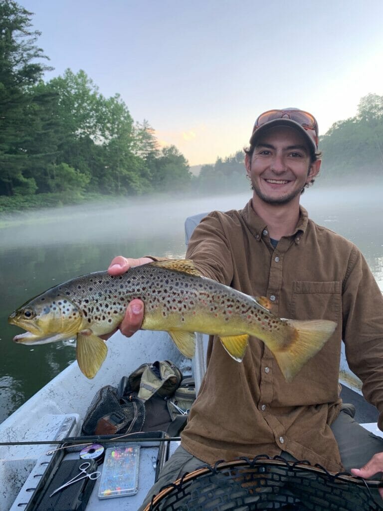
Chris: Trout Unlimited has always been on my job radar. I have spent many years fishing the Upper Delaware River watershed, and when I saw the job advertisement on the Trout Unlimited website, I thought it was a great opportunity to work in an area known nationwide as the birthplace of American fly fishing.
Q: One of the projects you have been working on is installing Mayfly stream monitoring stations. What has gone into that, and what do the stations provide?
Joe: The Mayfly stations are these great little stations that provide real-time publicly available stream data. Anyone can go check on the data, which is great because it allows anyone to connect with important and relevant data about their streams. A fisherman could, for example, decide if they wanted to fish the stream or not depending on the water temperature, which they could check from a phone. Catching trout when the temperature is too high can over-stress the fish and decrease its chances of surviving after being released.
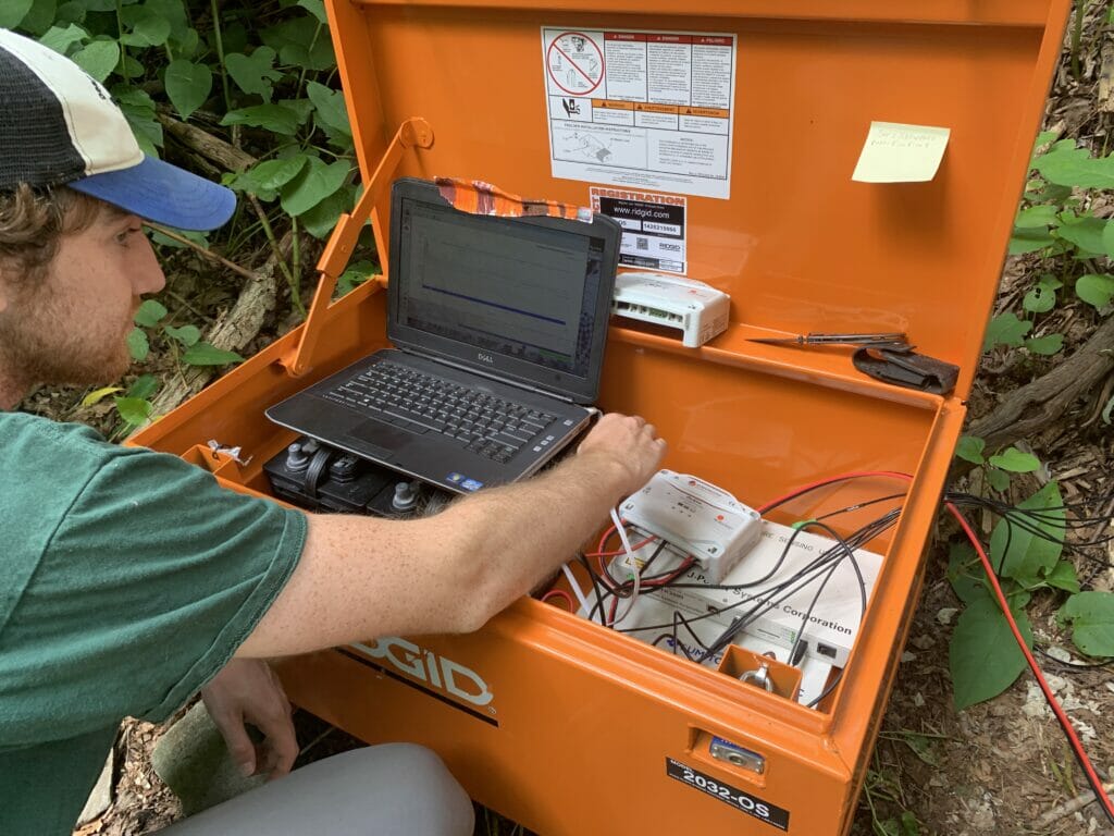
Chris: The Mayfly streams monitoring stations collect incredibly accurate, real-time, water quality parameters including water temperature, air temperature, water depth, and the electrical conductivity of the stream. We currently have two stations set up, one each on Mongaup Creek and Sands Creek. The Mayfly stations are equipped with small solar panels to charge the internal battery and are able to send the information to the online database using a cellular signal. The public is free to access this open source information at monitormywatershed.org. The information from these stations will be useful for citizens and scientists to monitor baseline conditions for trout survival in these areas.
Q: You are spending a lot of time doing survey work on road stream crossings. Can you talk about what you’re doing with that, and how that survey work is going?
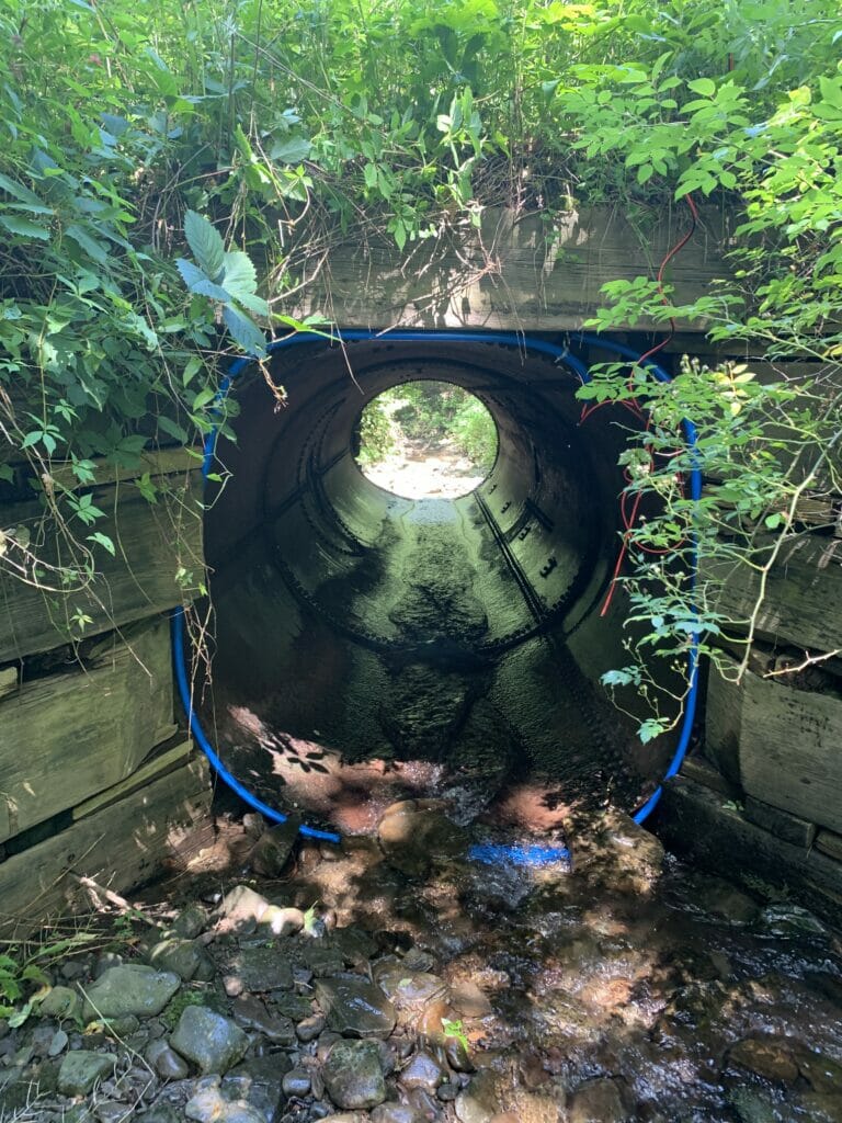
Joe: Yeah, one thing we’re doing is adding road stream crossings to the North Atlantic Aquatic Connectivity Collaborative (NAACC) project. If you’ve ever seen those plastic or metal pipes going under a road, these culverts – along with bridges and often questionably designed concrete and metal structures – are what we’re assessing.
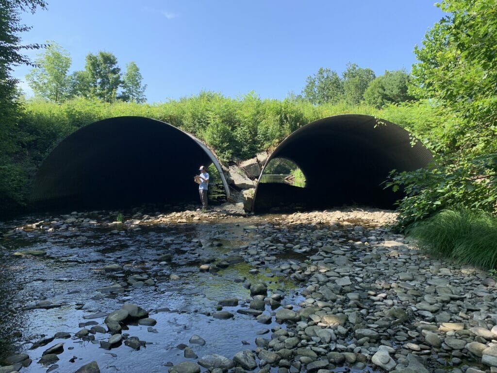
We have a map of the locations of all the crossings in our area and spend a lot of time assessing all the crossings. We take a whole host of measurements at each crossing, but we’re essentially assessing each crossing for fish passage.
When a crossing prevents fish passage, it causes habitat fragmentation. It also blocks fish from accessing cooler, elevated waters during the hottest part of the year. As global temperatures continue to rise, trout habitat is shifting toward higher elevations as the lower reaches of streams become too warm for them to survive. This makes assuring aquatic connectivity in these important trout streams more important now than ever.
While most of the crossings don’t provide a real barrier to fish passage, there are a significant number of crossings that are either blocked or have drastic changes in elevation (free falls at the outlet) that completely block fish passage.
Chris: We were assigned to assess all the stream crossings in the towns of Colchester, Hancock, and Deposit. Among the three towns there is a total of about 880 stream crossings that we survey following North American Aquatic Connectivity Collaborative (NAACC) protocol, which uses structure and stream dimensions to rate connectivity at each crossing and assign a score of its ability to pass aquatic organisms.
These surveys are especially important in this watershed to assess connectivity to thermal refuge areas, as well as upstream spawning habitat. So far this season we’ve assessed almost 600 of these crossings. We visually observe trout at many of the crossings and have seen up to 12 trout in a single pool. They are usually small but can sometimes be surprisingly large.
Q: You are also working on an interesting temperature monitoring project using linear fiber optic cables. Talk about that.
Joe: Just like with the stream crossing surveys, this project has to do with trout habitat. Using fiber optic cables, we can measure the temperature in the water at every meter of the stream over time. This allows us to find any places in the stream where there might be a natural upwelling of cold water. Finding a location like this would mean that the area is important for trout habitat and needs further study or protection.
Chris: We have installed Digital Temperature Sensing (DTS) units on Mongaup Creek and Cadosia Creek using 500-meter fiber optic cables that are installed in the stream bed and measures the longitudinal temperature profile in the stream. These help us find areas in the stream with a particularly high influx of cold water or hyporheic upwelling to target our restoration efforts more accurately.
We also have installed other temperature loggers in various streams, and around some of the culverts that are particularly significant barriers. These will give us an idea of the stream temperatures in that reach before, and after, culverts are replaced or retrofitted.
Q: Another interesting project is the one using radio frequency identification (RFID) sets to track fish movement. What is going on there?
Chris: The RFIDs we have set up this year mainly detect fish movement through potential barriers and collect information on fish movement throughout the East Branch.
Fish receive small electronic RFID/PIT tag microchips that are activated and detected when passed through the electromagnetic field created by the antenna stations we set up in the stream.
Due to some large storm flood events this summer, we lost some equipment, and had to rebuild some stations, but have still been able to detect some fish movements. It’s really cool when we get to electroshock new fish, tag them, and see exactly when they were able to move through, or where else in the system they might show up next.
Joe: One of the goals of this project is to figure out the extent to which fish can pass through culverts with barriers in them.
Essentially, we’ll tag fish downstream of a culvert and place the sensor at the upstream inlet of the crossing. If we get detections on the sensor, we know that fish can make it through the crossing. This also allows us to prove that fish cannot make it through a culvert, which tells us that the crossing in question is a real barrier.
Q: Have you had any interesting or nutty things happen while you’ve been working in the field this summer?
Joe: The installation of the Mayfly station on Mongaup creek was eventful. These stations typically don’t take more than an hour two to install and get done in a day. In this case, on the first day we were there it was raining heavily, so the water level was up quite a bit.
The water at the chosen location was too deep to wade in, so Chris decided to go no waders and take a swim in the river. The water must have been in the low 60s. Chris was able to get part of it attached, but eventually had to get out of the water.
We had just installed the fiber optic system that day, so it was already late in the day and we had to head home. We ended up returning – and swimming – a couple more times before we got everything secured in a way we were happy with.
Other than that, we spend lots of time trying not to get lost on many of the seldom-traveled mountain roads in the area. We also do our best to steer clear of aggressively marked private property surrounding the many rod & gun clubs we pass by.
Chris: It seems like every time we talk to a landowner they warn us heavily about the timber rattlesnakes in the area. Luckily, though, we have not seen or heard any yet. Navigating the dirt roads in areas with no cellular reception can get interesting, but we’ve come up with some tools to help us get around.
Q: You guys both like to fish. Have you been finding some time to get out on the water for fun?
Joe: Yes! Chris and I have been out a couple times together, and I just did a float trip with my dad last weekend. My landlord happens to be a guide, which is something I’m definitely not upset about.
Chris: I’ve been living in a camper on the river and have a drift boat I’ve been floating two to three days a week on the Delaware since this position started in mid-June. Aside from that, Joe and I have found a very large number of secret fishing spots while doing our culvert assessments on the smaller streams – additional perks of the job.

