Dan Dauwalter, director of fisheries science, has answers on native trout and cutting-edge fisheries technology
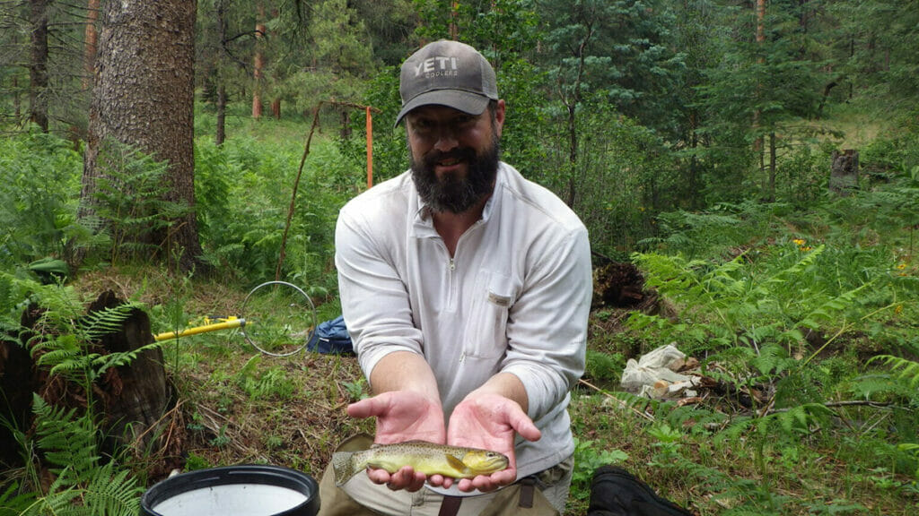
Over the past few years, groups of scientists hiked into the White Mountains of Arizona with heavy sampling gear to search remote streams for the threatened Apache trout.
It was arduous work, but back in the office, Dan Dauwalter may have ended up with the harder task.
TU’s director of fisheries science was tapped by the U.S. Fish & Wildlife Service to take that sampling data, coordinate with agency and tribal partners, and complete a full Species Status Assessment of the Apache. That meant compiling and analyzing all available data, filling any data gaps, linking that with existing science on the species and on Western native trout more generally, and drafting a 140-page document that would stand as the final word on Apache trout.
In the end, the report provided the scientific foundation for an important recommendation the FWS issued last month to remove the Apache trout from the list of threatened and endangered species.

The research was the latest accomplishment in a career full of them.
This summer, he received an Award of Merit for his body of work from the Western Division of the American Fisheries Society in recognition of his “significant contributions” to fisheries science and the AFS.
Dauwalter, who came to TU in 2008, leads our fisheries research and monitoring efforts dedicated to rooting TU’s conservation and policy work in sound science.
Dan has authored and edited works that are now standing resources in his field. He played a primary role in the development of TU’s 2015 high-profile State of the Trout report, penned a chapter in Trout and Char of the World, and served as co-editor of AFS’ recent Multispecies and Watershed Approaches to Freshwater Fish Conservation.
He edited an extensive review of science in the Driftless Area to ensure TU’s and our partners’ work in the region is science-based and resilient to climate change.
Meanwhile, Dan has pointed our conservation staff and TU volunteers toward new technologies and approaches, such as using remote sensing to characterize fish habitat and using mobile phone apps to collect water quality and impact information throughout watersheds.
Frankly, I’m not sure how he does it all.

Q: How do you explain your job to someone outside the fisheries universe?
A: This is hard, actually. My mom once asked me: “Dan, what is a watershed?” I don’t remember what I said but I know my response left something to be desired. Nowadays, I usually start off saying something about how our science program does science to support TU’s programs and our agency partners.
Q: You’ve worked on Gila trout research, and led the recent assessment of the Apache trout. Both of these fish are listed as “threatened” under the Endangered Species Act. What would surprise us about these fish?
A: One thing that has surprised me is how little we know about some Gila trout populations. They are difficult to survey because of their remoteness, like those in the Gila Wilderness in New Mexico. It also surprises me how heavily these species have been managed over time. These populations are naturally very small, which makes them susceptible to local extinction due to wildfires, non-native trout, and even some seemingly random processes like natural population fluctuations. When a population blinks out, it is usually re-established with fish from a nearby stream—if there are enough fish—or sometimes from a hatchery. Some Apache trout populations have been established with less than 200 fish from another nearby population. The fish from that population may have come from one or two other streams that have fish from the original population of interest. It’s crazy to track that history, and we did this for the recent species status assessment for the Apache trout.
Q: How is technology changing the way we monitor rivers and streams, and what impact does that have on our ability to protect and restore them?
A: Well, our ability to use technology for landscape-scale assessment is one thing that has changed tremendously. Satellite and aerial imagery is now more accessible than ever, and the number of satellite and aerial platforms out there is astounding. The spatial and temporal resolution of the data keeps getting better, which allows us to ask new questions. For example, we’ve used one-meter-resolution aerial imagery to create detailed maps of riparian vegetation and redband trout habitat in southwest Idaho and northern Nevada. This helps us predict where these populations are likely to be, but it also helps us understand where riparian restoration might be most useful to conserve the species.
The Landsat satellite archive (going back to 1982) takes a 30-meter resolution picture of the same spot on Earth, for every point on Earth, every 16 days. We’ve used Landsat data for a project that NASA funded to understand the condition of Lahontan cutthroat trout habitat over time for every population across the species’ range in northern Nevada. This was never possible until about five to eight years ago. We used Landsat data to understand which populations of this species—another species that is on the list of threatened and endangered species—are most at risk of extinction. This then naturally aids the ability of agencies and groups like TU to more efficiently apply resources to conserve and recover the species.
Q: You’ve been helping develop angler science tools. What’s out there, and how can volunteers put them to use on their home waters?
A: There are plenty of tools out there to help facilitate crowd-sourced data collection. We developed TU’s RIVERS mobile application, which allows TU chapters to collect data on disturbances in their home waters. They can document streambank erosion, litter, and other problems in the streams they fish with some quick notes, a GPS point, and a photo or two. The data they collect are stored in a database that can be viewed in map form or queried for download. That provides an informative and visual showcase of potential projects, to have at their fingertips when funding opportunities arise.
We’ve also been using the WiseH2O mobile app to crowdsource data on water quality and other disturbances in the Driftless area the Upper Midwest. The key to any community science program is having a central question to answer so people know why they’re collecting data. It’s also very important to show how the data they collect are being used for conservation action.
Q: Where can people learn more about how to put these tools to use in their watersheds?
These resources live in the Science Engagement corner of TU.org; you can find broader information about our program at https://www.tu.org/science/


