
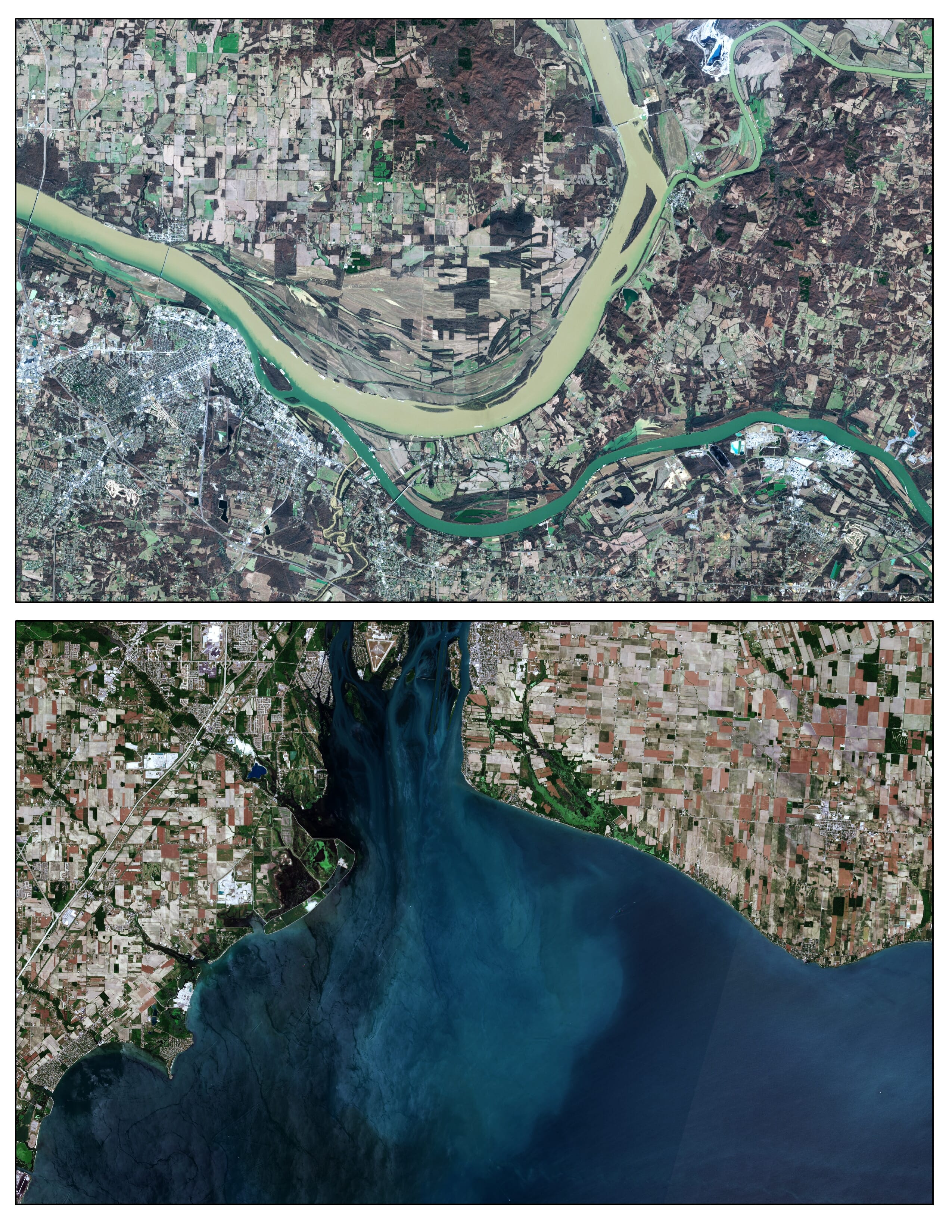
Trout Unlimited scientists use cutting edge technologies like Lidar, drones, and satellite imagery to evaluate site-specific conservation opportunities, project impacts, and monitor changes following project implementation.
Resources
Remote sensing data is increasingly accessible, and this paper by TU scientists and partners highlights how satellite and airborne data can be applied to freshwater fisheries management and conservation.
Trout Unlimited scientists and partners used aerial and satellite imagery to show conservation grazing can be an important precursor to beaver activity and result in 11–39 percent increases in floodplain vegetation productivity, enhancing habitat for fish and wildlife and building resiliency for critical riparian habitats.
TU scientists used high resolution aerial imagery to characterize woody riparian vegetation in southwestern Idaho and northern Nevada, which was shown to be more predictive of redband trout distribution and abundance than field-based habitat measurements.